Aigai History
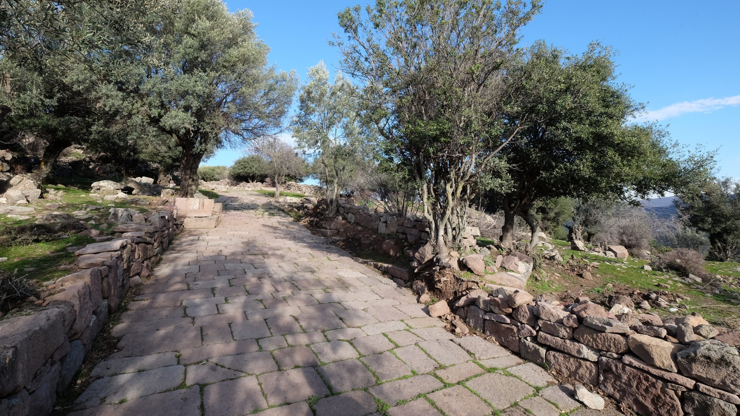
Aigai, located in the province of Manisa, was established on the Gün Mountain in the Yunt Mountain Range, which was named Aspordene in ancient times. Today, Yunt Mountain is administratively located within the provincial borders of Manisa and İzmir. Its total area is 3,521,70 km wide, and it is bordered by the Bakırçay (ancient Kaikos) in the north, the Gediz (ancient Hermos) river in the south, Kırkağaç and Akhisar plains in the east and the Çandarlı Bay in the west. Highest peak of Yunt mountains, which consists of 500 m-1000 m hills and plains between them, stands at 1076 m. In ancient times, the mountain was the border between Mysia and Aiolis. The most important ancient settlement on the Yunt Mountain was Aigai.
The archaeological data and border stones show that Aigai controlled most of the Yunt Mountain, especially in the Hellenistic Period. W.M. Ramsay suggests in his publication in 1890 that Aigai’s borders were covering a large area. Aiolis region, which includes an important part of the Yunt Mountain, is on the Western Anatolian shores and roughly covers the area between Gediz (Hermos) Valley and Bakırçay (Kaystros) and Lesbos Island. Aeolians living in the Aiolis region and speaking a dialect of Ancient Greek, came from the north of Greece and settled in the region.
Ancient Buildings
Bouleuterion
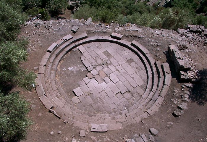
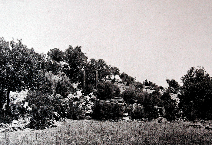
Sanctuary of Athena
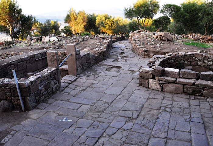
Agora
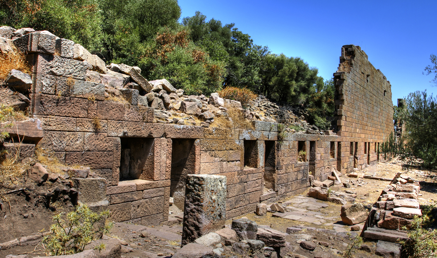
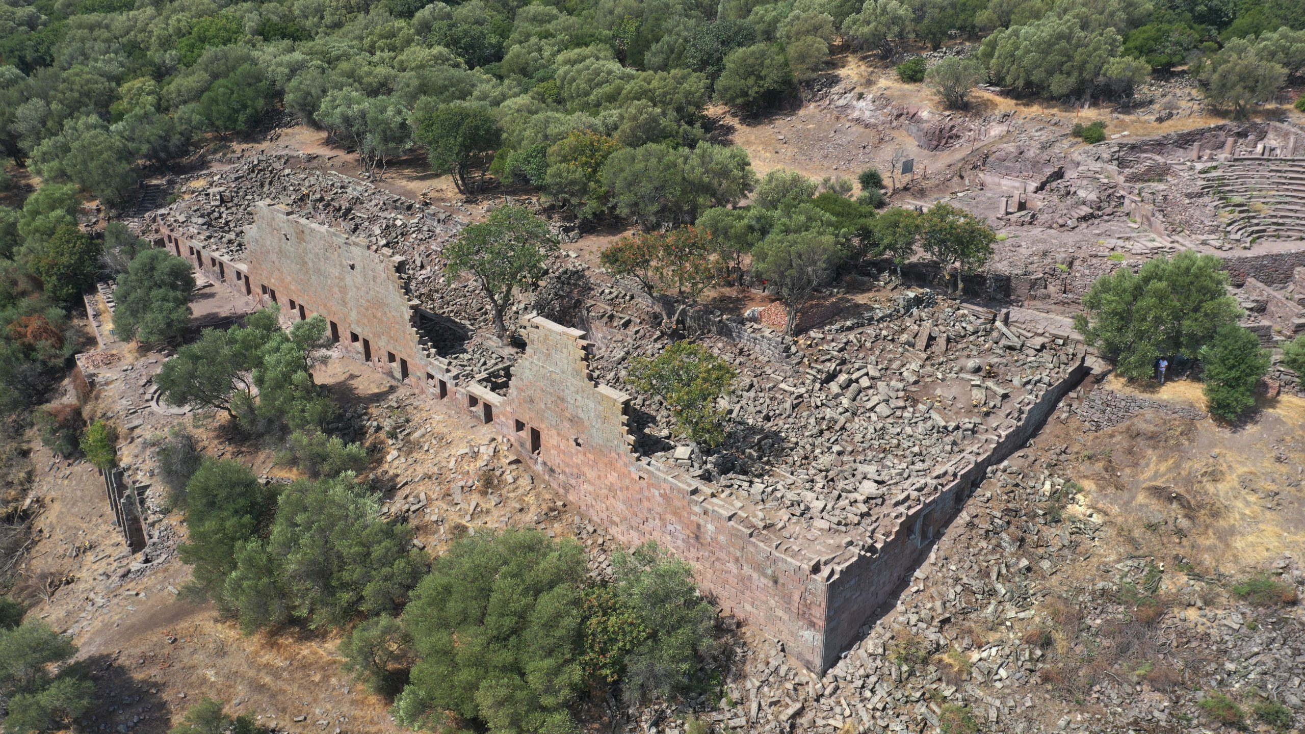
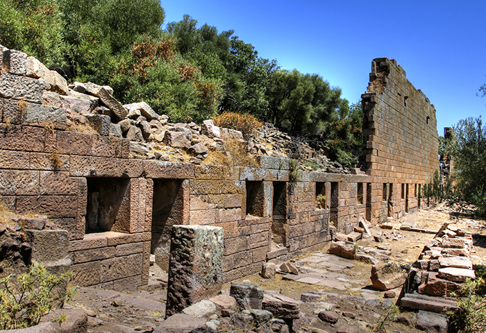
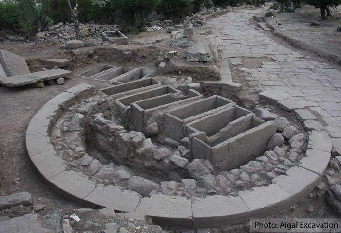
Macellum
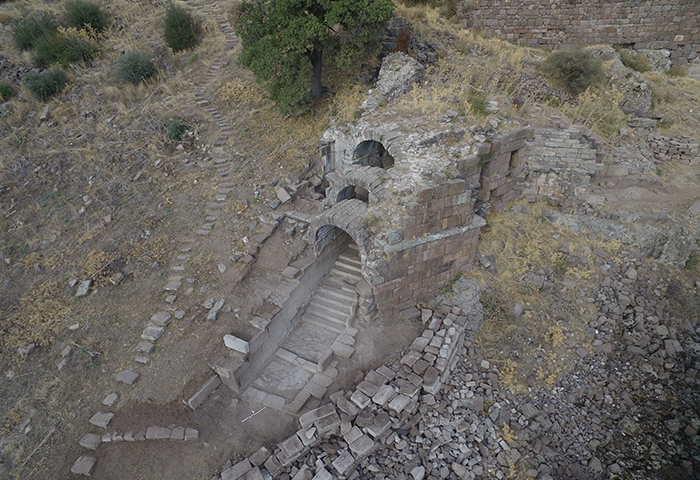
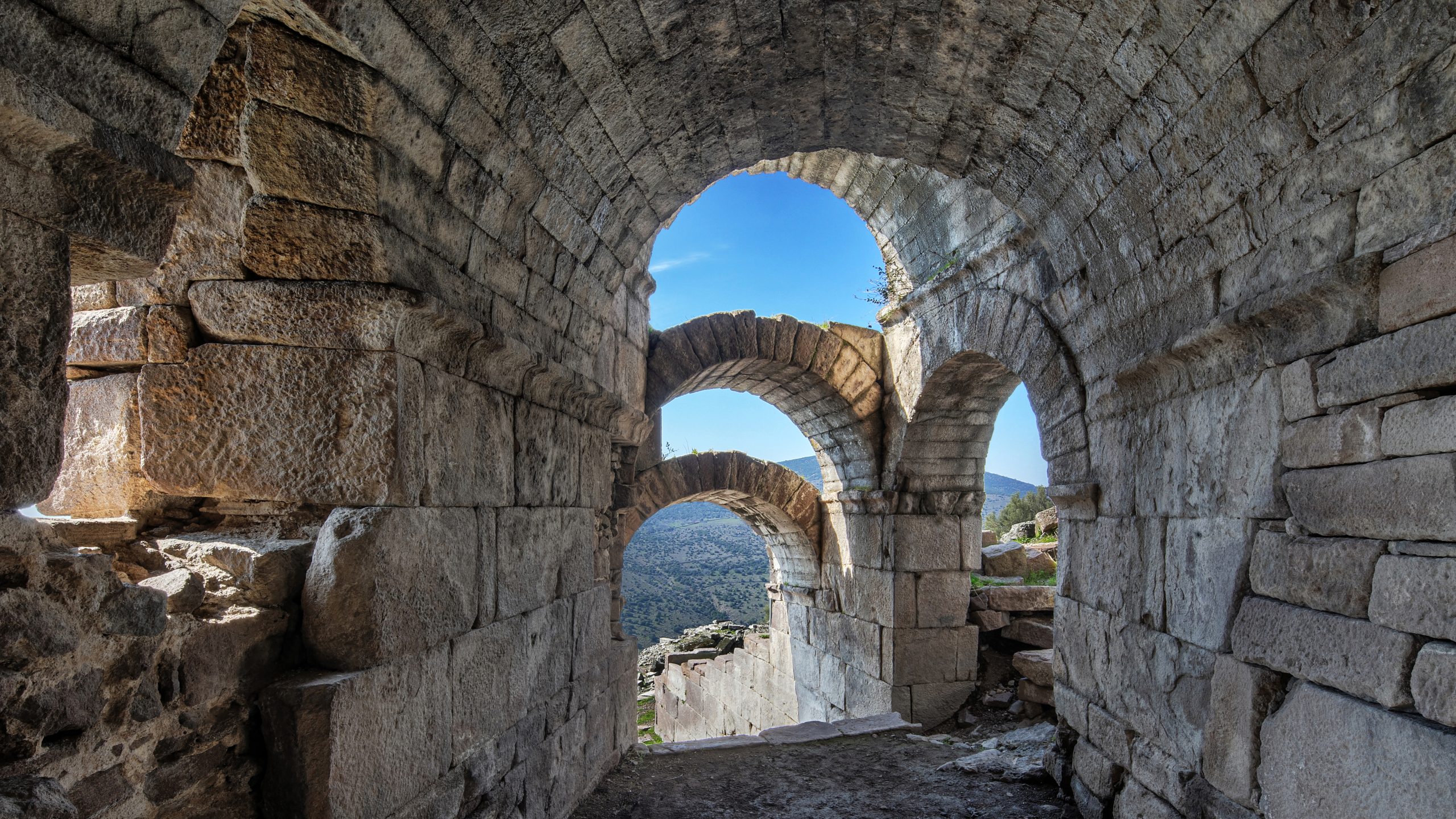
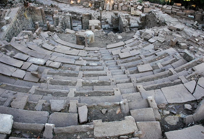
Theater
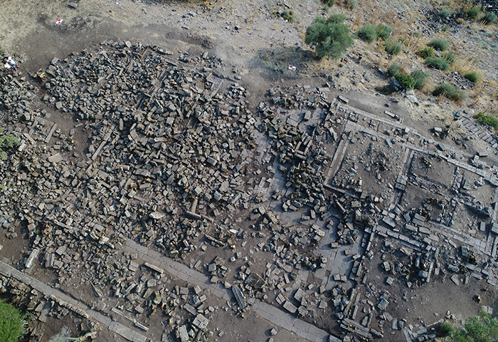
Insula 1 Neighbourhood
Necropoleis
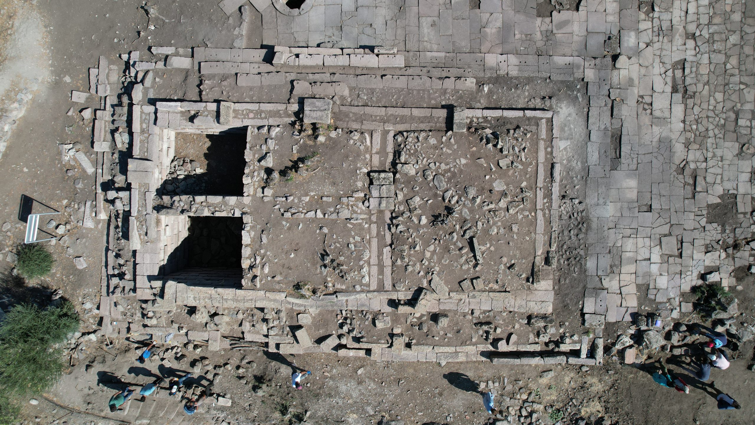
Temple of Apollo Chresterios
For other ancient buildings
Announcements
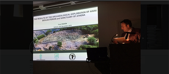
Aigai Excavation Director Assoc. Dr. Yusuf Sezgin introduced Aigai Ancient City at Oxford University, Lincoln College. MORE…
The cistern in the 2800-year-old Aigai Ancient City in the Yunusemre district of Manisa, which could not be used because it did not hold water… MORE…
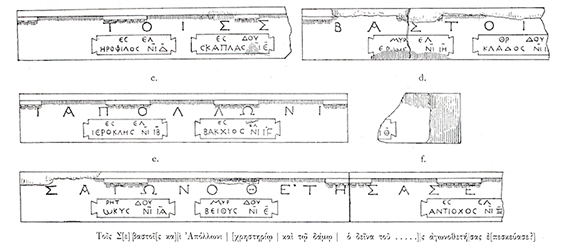
The inscriptions on the architrave blocks in the Aigai Ancient City in Manisa provide important information about the gladiator games in the city. MORE…
With current announcements and news